
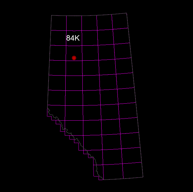
This Alberta ATS base map tile provides accurate, AutoCAD-ready base mapping for a specific project area. Built to the Alberta Township System (ATS), the drawing includes roads, hamlets, towns, cities, reservations, parks, sections, townships, ranges, cutlines, and waterbodies, with consistent layers for seamless stitching.
Geo-referenced to UTM NAD83 11 and created in metric units, this tile is ideal for survey, engineering, planning, and land development work.
Also available as part of the Alberta ATS Base Maps – Full Province Set.